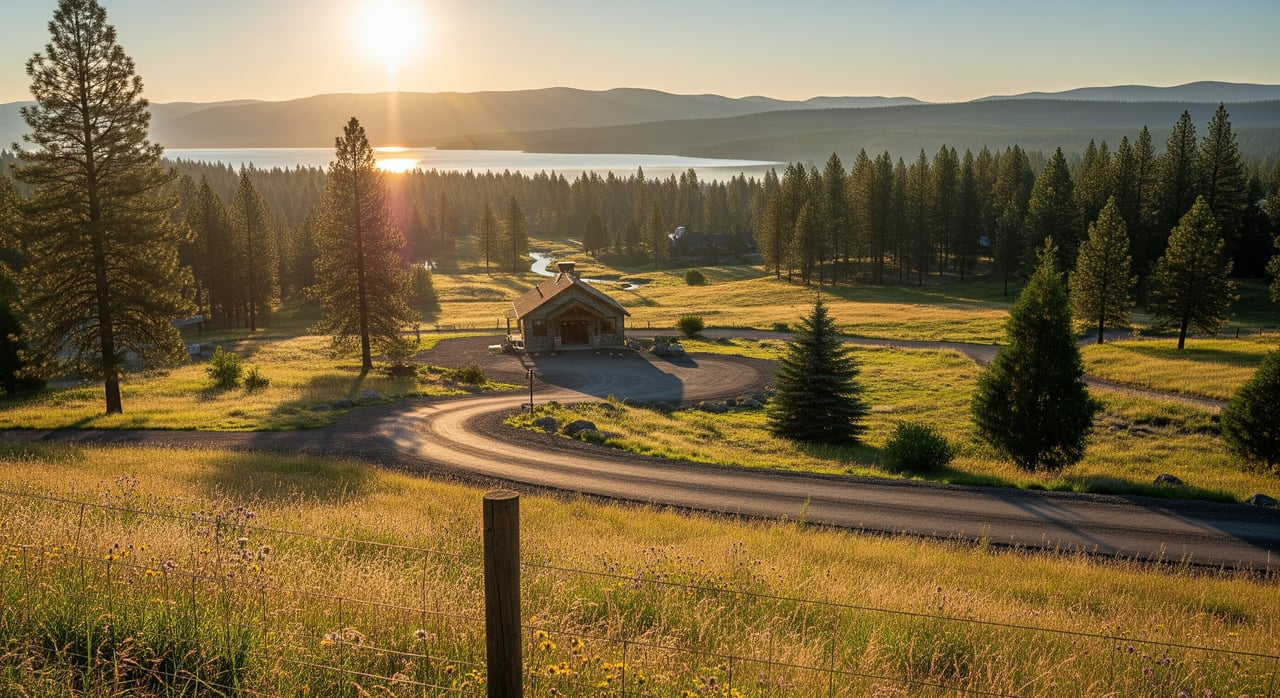
Waterfront living in Sagle delivers big-lake views, quiet coves, and year-round recreation. It also comes with rules for building in floodplains and choices about flood insurance that affect your budget, design, and timeline. With a clear plan, you can protect your investment and move forward with confidence.
What Floodplains Mean for Sagle Waterfront
Floodplain basics shape financing, construction, remodels, and long-term ownership costs. Sagle sits in unincorporated Bonner County, so county Planning & Zoning handles floodplain permits for local waterfront addresses. Bonner County participates in the National Flood Insurance Program and has a Community Rating System Class 8, which provides a 10% discount on NFIP premiums written in the county. You will verify your flood status with FEMA’s maps, then coordinate permits and insurance as needed with the County and your insurance agent see Bonner County floodplain information.
Flood risk is highly site specific. One home may be on naturally high ground while a neighbor is inside a mapped Special Flood Hazard Area. That is why due diligence in Sagle starts with the official FEMA map for the exact parcel and, often, a professional Elevation Certificate when decisions hinge on inches of elevation check FEMA’s Flood Map Service Center.
Reading Flood Maps and Elevation Data
How flood zones are labeled
FEMA maps identify Special Flood Hazard Areas (often called the 100-year floodplain) as Zone A or AE, among others. Properties in these zones face higher flood risk and may trigger lender insurance requirements. Outside the SFHA you might see zones like X, which generally indicate lower risk. Always confirm the exact zone for the parcel using the FEMA Map Service Center. If a detailed Flood Insurance Study exists for the waterbody, you can view Base Flood Elevations on the effective panel use the FEMA map portal. County staff can help interpret panels and local studies as part of your planning contact Bonner County Planning & Zoning.
Elevation certificates and surveys
An Elevation Certificate records surveyed elevations for key parts of a structure. In Bonner County, new construction in mapped flood zones generally requires an Elevation Certificate showing the lowest floor elevation before work begins. Licensed surveyors or engineers prepare ECs, and the County uses them to confirm code compliance. Your insurer can also use EC data to evaluate potential premium savings, depending on FEMA’s current rating method see county code and EC guidance and Elevation Certificate basics.
If your lot appears mapped in the SFHA but sits on naturally high ground, a survey may support a Letter of Map Amendment that removes the structure or parcel from the flood zone for FEMA purposes review FEMA’s LOMA process.
Impacts on design and financing
Elevation and flood zone status guide where and how you can build:
- Building elevation: Bonner County requires new houses in mapped areas to be at least one foot above the Base Flood Elevation where a BFE is defined see county floodplain standards.
- Foundation details: The code requires flood openings for enclosed spaces below the BFE and flood-resistant materials below that level review county ordinance standards.
- Lender rules: If a structure is inside the SFHA and you use a federally regulated or insured mortgage, flood insurance is typically mandatory. Even with a map change, a lender may still require coverage by policy. Confirm requirements early in the process see FEMA’s guidance and Bonner County insurance basics.
Floodplain Permits for Waterfront Projects
When permits are required
If any part of your work is in a mapped flood zone, a Floodplain Development Permit is usually required before you begin. “Development” includes new homes, additions, grading, fill, shoreline stabilization, certain storage, and other changes. The County’s permit portal outlines what qualifies and how to apply start with the Floodplain Development Permit page and the ordinance text.
In addition, in-water work on navigable lakes like Lake Pend Oreille often needs state permits from the Idaho Department of Lands. Docks, marinas, rip-rap, and similar lakebed encroachments are handled by IDL. Some projects may also involve the U.S. Army Corps of Engineers. Plan early and coordinate requirements across agencies see IDL lakes and rivers permits.
Typical documents and timelines
For floodplain permits, expect to provide:
- A stamped site plan that shows lot lines, proposed structures, flood zone boundaries, and reference elevations
- Elevation data and certifications by a licensed surveyor or engineer
- Foundation and venting details for any enclosed areas below elevated floors
- Proof that your design meets county standards, including freeboard and materials requirements
Review times vary by scope and season. Complex shoreline projects that also involve IDL or federal review should budget additional weeks. Submitting complete plans and timely responses to staff comments is the fastest path to approval see County submittal expectations.
Shoreline, dock, and drainage work
Near-shore projects often involve multiple approvals. A typical sequence looks like this:
- Confirm the flood zone and BFE on the FEMA map and with the County.
- Meet with County Planning & Zoning to identify required county permits.
- If a dock or rip-rap is planned, coordinate with IDL for lakebed encroachment permits, and confirm if federal review applies.
- Prepare engineered plans and any required Elevation Certificate data.
- Submit to all agencies, track comments, and do not start work until permits are issued use the County floodplain and IDL resources and IDL permitting.
Flood Insurance: Coverage and Lender Rules
When lenders require coverage
If your home or detached structure securing the loan is in an SFHA and you use a federally regulated or insured mortgage, flood insurance is generally mandatory. Bonner County’s NFIP participation means NFIP policies are available countywide, with a 10% premium discount thanks to the County’s CRS Class 8 status see County insurance information.
A lender can require flood insurance even if FEMA later issues a LOMA. Ask your lender for their policy and confirm requirements before you remove contingencies see FEMA’s map change and lender notes.
Policy types and coverage limits
NFIP offers two main coverage types: building coverage for the structure and contents coverage for personal property, each with its own limit and deductible. Standard homeowners policies do not cover flood losses. Review exclusions carefully, such as basements and certain items below grade, so you understand your risk profile see NFIP policy terms overview.
Be aware of timing: most new NFIP policies have a 30-day waiting period before coverage starts, with limited exceptions for loan-related purchases and certain map changes. Do not wait until the week of closing to arrange coverage see FEMA’s waiting-period rules.
Ways to lower premiums
- Elevation advantage: Providing an Elevation Certificate can help your agent evaluate savings under FEMA’s current rating approach. In some cases, higher finished-floor elevations and compliant foundations lead to lower premiums learn how ECs are used.
- Community discount: Bonner County’s CRS Class 8 yields a 10% discount on NFIP premiums written in the county see County CRS details.
- Mitigation: Elevating utilities, adding compliant flood openings, and limiting enclosures below the BFE can improve insurability. Your agent can compare NFIP vs private-market flood options to see which fits your risk and lender requirements review NFIP basics.
Buyer Due Diligence for Waterfront Purchases
Questions to ask before offering
- What is the exact FEMA flood zone for the parcel, and is there a current Flood Insurance Study or Base Flood Elevation?
- Is there an Elevation Certificate on file? If not, will the seller allow a survey during due diligence?
- Has the property carried NFIP or private flood insurance? Any known flood claims or mitigation work?
- Have there been shoreline improvements, docks, or drainage changes, and are permits closed out with the County and IDL?
- Are any parts of the lot in a mapped floodway or subject to additional limits confirm with the County ordinance?
Contingencies and inspections to include
- Flood and permit review contingency to verify zoning, BFEs, and permit status with Bonner County
- Time for an Elevation Certificate if needed, plus the option to pursue a LOMA if elevations support it see FEMA’s LOMA guidance
- Insurance contingency to secure quotes and confirm lender acceptance, accounting for the 30-day waiting period when applicable see waiting-period rules
- Shoreline and drainage inspection by a qualified professional to assess erosion, culverts, and existing rip-rap
Red flags and risk tradeoffs
- Structures set below the BFE without proper venting or materials
- Unpermitted shoreline work or dock changes that could delay closing or require remediation
- Mapped floodway encroachments or fill that may be difficult to legalize under county standards review floodway restrictions
- Missing documentation for past work, or insurance lapses that complicate quotes
Balance lifestyle goals with long-term costs. If you love the site but need major mitigation, budget for the work and timeline up front.
Owner Playbook: Compliance and Risk Reduction
Seasonal maintenance and monitoring
- Spring: Inspect shorelines, drains, and culverts after snowmelt and high water. Check for erosion and damage to rip-rap or dock connections.
- Summer: Review defensible space, clear debris from under elevated structures, and ensure vents remain unobstructed.
- Fall: Service pumps, secure loose shoreline items, and photo-document conditions before winter.
- Winter: Monitor ice and water levels and keep an eye on access routes.
Record-keeping and renewals
Keep a digital file with permits, plans, Elevation Certificates, photos, and insurance documents. Update records after any improvement or reinspection. When renewing insurance, share new mitigation measures and EC data with your agent to check for premium impacts see NFIP documentation tips.
After high water or storms
- Document conditions with photos and notes as soon as it is safe.
- Contact your insurer to understand claim steps and any Increased Cost of Compliance coverage if applicable under NFIP rules review NFIP policy info.
- Coordinate with Bonner County before repairs that involve grading, fill, or structural changes, as permits may be required County permit hub. For dock or rip-rap repairs on Lake Pend Oreille, contact IDL early IDL lakes and rivers.
Next Steps for Sagle Waterfront Decisions
Waterfront in Sagle is about lifestyle and stewardship. The right prep protects your timeline, your budget, and your property value. Start with the FEMA map, gather elevation data, confirm permits with the County, and line up quotes and coverage early. If you want tailored guidance around a specific address, recent permits, or insurance timing, we are here to help.
If you are weighing a purchase or planning to sell, request a free market valuation and a step-by-step plan that aligns design, permitting, and insurance with your goals. Get expert, local guidance from Kevin Pickford & Kyra Beamis. Get a Free Home Valuation.
FAQs
How do I check if a Sagle property is in a flood zone?
- Search the address on FEMA’s Flood Map Service Center, then confirm details like BFEs and map interpretation with Bonner County Planning & Zoning.
Do I need a Floodplain Development Permit for a remodel?
- If any part of the work is in a mapped SFHA and involves construction, fill, grading, or related changes, the County typically requires a permit. Verify scope with Planning & Zoning.
What is freeboard and how much does Bonner County require?
- Freeboard is the safety margin above the Base Flood Elevation. Bonner County requires at least one foot above BFE for new homes where a BFE is defined.
Can I remove my house from the flood zone if it is on high ground?
- Possibly. If surveyed elevations show the structure is above the flood level, you can apply to FEMA for a Letter of Map Amendment with professional documentation.
When is flood insurance mandatory?
- If the structure securing a federally regulated or insured loan is in an SFHA, lenders generally require flood insurance. Lenders may also require coverage by policy even after a LOMA.
How long before flood insurance takes effect?
- Most new NFIP policies have a 30-day waiting period, with limited exceptions for loan-related purchases and certain map changes. Plan ahead for closing.
Who permits docks on Lake Pend Oreille?
- The Idaho Department of Lands handles lakebed encroachments like docks and rip-rap. You may also need county permits for related shoreline work. Coordinate early with both agencies.